Balancing Act: biodiversity assessment for Saudi Aramco
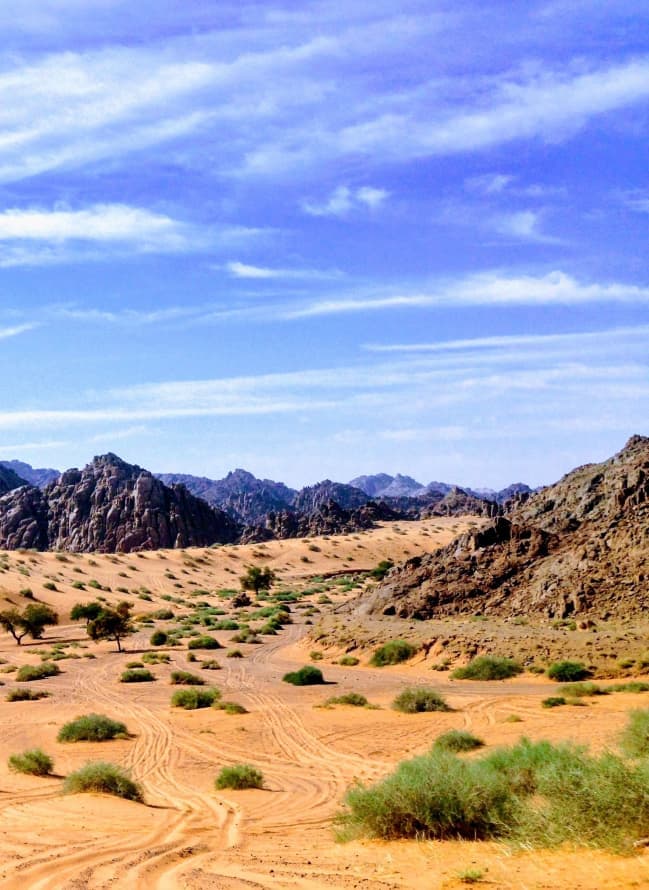
Saudi Aramco required detailed biodiversity data near a facility located within an environmentally sensitive area to guide conservation planning.
Learn MoreBiodiversity Assessment & Conservation Planning – Abha Region
A lack of verified ecological data limited the ability to protect habitats and maintain biodiversity balance.
Project Environmental Workstreams
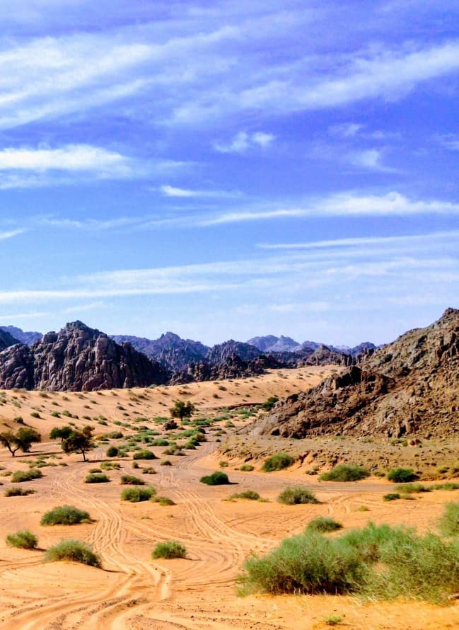

Flora and habitat surveys
Multi-day surveys of flora and habitat across the study area.

Fauna monitoring
Camera traps, live traps and nocturnal surveys used to record fauna.

GIS habitat mapping
Habitats mapped in GIS to produce a spatial biodiversity baseline.

Integration with existing studies
New findings reconciled with existing studies to give one consistent record.
How Staterra supported the project
Staterra conducted comprehensive flora and fauna surveys to establish a reliable biodiversity baseline and conservation framework. We provided Saudi Aramco with dependable ecological data where none previously existed: through structured field surveys and habitat analysis, we transformed raw observations into a usable biodiversity baseline. That allowed environmental teams to make informed conservation decisions grounded in site-specific evidence rather than assumptions.
Key Deliverables
Biodiversity survey report
Habitat maps and species inventories
Conservation recommendations supported by field data
Impact & outcomes
Saudi Aramco gained clear ecological insight and practical tools to implement conservation measures while maintaining operational responsibility.
Let's discuss your project challenges
Our team supports clients with practical environmental insight from planning through delivery.
Contact us