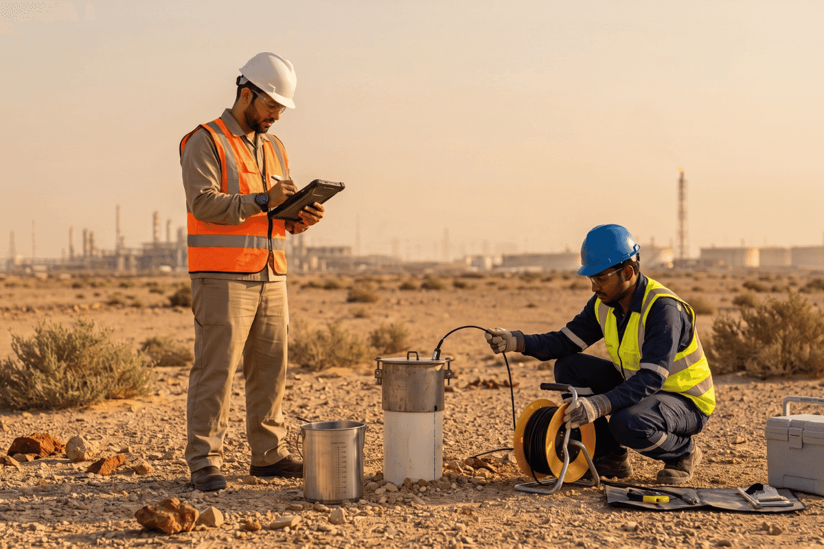
Protecting what's below: groundwater contaminant transport modelling for petrochemical capacity expansion in Jubail Industrial City
When a petrochemical facility in Jubail Industrial City undertook a significant debottlenecking programme to increase production capacity, the project triggered a critical environmental obligation: demonstrating, with technical certainty, that the expansion would not compromise groundwater quality...
When a petrochemical facility in Jubail Industrial City undertook a significant debottlenecking programme to increase production capacity, the project triggered a critical environmental obligation: demonstrating, with technical certainty, that the expansion would not compromise groundwater quality in the surrounding aquifer system.
That obligation led to Staterra.
What RCER demands before a shovel goes in the ground
Capacity expansions at operating petrochemical plants change the risk profile of a facility – including the potential for subsurface contaminant migration. In Jubail Industrial City, where the Royal Commission Environmental Regulations (RCER) set some of the region’s most stringent environmental standards, that risk needs to be quantified, not assumed.
The client needed a rigorous, RCER-compliant Groundwater Contaminant Transport Modelling Study – one that could predict how contaminants might migrate within the aquifer system over time, assess risk to sensitive receptors, and provide a credible technical basis for both regulatory submission and remediation planning if required.
Staterra was appointed to deliver it.
Six steps from conceptual model to regulatory submission
Staterra deployed a structured, multi-stage methodology designed to meet both RCER requirements and international best practice. This mirrors how we treat modelling across the board – not as a compliance checkbox, but as a decision-support tool for impact assessment that shapes real project choices.

Step 1 – Define the Conceptual Model
Before any numerical work begins, we established the study goal, physical domain, hydrostratigraphy, and flow system characteristics – including sources, sinks, and key processes such as advection, dispersion, sorption, and decay. This conceptual foundation determines everything that follows.
Step 2 – Data Collection
We collated comprehensive hydrogeological data: hydraulic conductivity (K), storage coefficients, porosity, anisotropy, boundary conditions, and historical contaminant concentration measurements. Contaminant-specific parameters – including decay rates, sorption coefficients (Kd), and transport parameters such as longitudinal and transverse dispersivity – were also defined.
Step 3 – Build and Calibrate the Flow Model
Using MODFLOW, we constructed a numerical groundwater flow model with appropriate grid resolution, refined near contamination sources and compliance wells. The model was calibrated against observed hydraulic heads and flows using both manual and automated techniques (PEST/PEST++), with residual analysis, RMSE, and sensitivity testing applied to key parameters before any transport modelling proceeded.
Step 4 – Set Up the Transport Model
MT3D-USGS was used to couple the transport model to the validated MODFLOW flow solution. Initial concentration fields, source/sink terms, sorption parameters, and reaction packages were configured. Where density effects were relevant, SEAWAT was considered as an alternative approach.
Step 5 – Simulation and Scenario Analysis
With the model operational, we ran plume migration simulations, generating contaminant concentration maps, cross-sections, and time-series results at compliance wells. Critically, we ran multiple scenarios – no-action, natural attenuation, and active remediation options (pump-and-treat, permeable reactive barriers) – to give the client a full picture of risk and response options.
Step 6 – Reporting and QA/QC
The final deliverable included all modelling results, mass balance tables, calibration statistics, sensitivity findings, data gap documentation, and interpretive maps – prepared in both draft and final form for regulatory submission to the Royal Commission of Jubail and Yanbu (RCJY).
A schedule decision, not a detail
Debottlenecking and capacity expansion projects are increasingly common across Saudi Arabia’s petrochemical sector as Vision 2030 drives industrial growth. But regulators, particularly the RCJY and NCEC, require more than generalised environmental assurance. They require site-specific, technically robust evidence that groundwater will be protected.
Groundwater transport modelling provides that evidence. It transforms vague risk into measurable data: plume migration distances, exceedance volumes, receptor exposure timelines, and remediation performance under different scenarios. It gives regulators what they need to approve your project, and gives you what you need to manage it responsibly over its operational life.
A regulatory submission that cannot withstand technical scrutiny can halt a construction timeline entirely. Getting the modelling right the first time is not a detail – it is a schedule decision.
20 years of transport modelling experience, applied in the Kingdom
Staterra’s groundwater modelling team brings specialist capability that goes beyond standard EIA support. Our modelling team, lead by Mostafa Atef, holds over 20 years of international experience in groundwater flow and contaminant transport modelling, with a track record spanning BTEX plumes, dissolved chlorinated solvent migration, and complex multi-site aquifer assessments across North America and the Middle East. That depth of expertise is applied directly to every study we undertake in the Kingdom, not delegated to junior staff.
We are also a Royal Commission-authorised environmental service provider and hold full NCEC Category A accreditation, meaning our submissions are recognised and processed efficiently by the regulators who matter most to your timeline.
If your next project involves capacity expansion, process modification, or new facility construction in a Royal Commission zone or NCEC-regulated environment, groundwater protection is not an afterthought – it is a prerequisite for your permit.
Groundwater Modelling Core Software Suite
Modelling Component
Software / Engine
Primary Function
Flow Engine
MODFLOW
Calculates hydraulic heads and cell-by-cell flow budgets to map structural groundwater velocity.
Calibration Suite
PEST / PEST++
Automated background parameter optimization matching historical monitoring data accurately.
Transport Engine
MT3D-USGS
Simulates complex advection, dispersion, and chemical sorption trends over long-term scales.
Variable-Density
SEAWAT
Couples flow and transport solutions perfectly when high-brine or coastal salinity impacts flow.
Explore how we approach the full scope of groundwater and contaminated site assessment, or read how we secured an Environmental Permit to Construct for a major wastewater infrastructure expansion in Jubail Industrial City.
For broader context on the regulatory environment your project will navigate, see our overview of the vital importance of process safety in Saudi Arabia’s industrial sector.
Protect your project below ground – talk to our team.
Let's discuss your project challenges
Our team supports clients with practical environmental insight from planning through delivery.
Contact us
Our Latest Posts
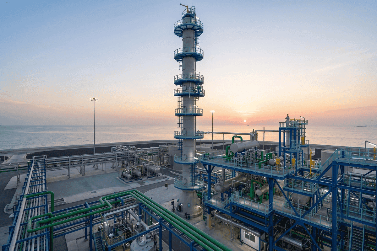
Environmental Modelling as a decision-support tool for impact assessment
You're trying to assess the environmental impact of a project that involves dozens of interacting variables – emissions, drainage, wind, terrain, receptors, land use, and operational scenarios. Looking at each one in isolation won't give you the answer. It will give you a fragment. That's where...
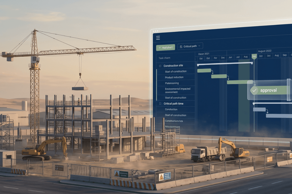
Your EIA is on the critical path. Don't let it become the bottleneck.
Four facilities. Ninety days. A Category-2 EIA that has to satisfy NCEC, align with SAEP-13, include a Health Impact Assessment, and land a Construction Environmental Management Plan with a dust mitigation component, all before a single upgrade to Dhahran, Qatif, or Al Hasa's fire and oily water...

Building heat resilience in the Gulf: a global imperative
The Gulf is running on hot air Summers in the Gulf region are brutal. Temperatures that would shut down a European city are, in much of the region, just another day in July. But "brutal" is becoming a clinical understatement – the margin between discomfort and danger is shrinking faster than most...