
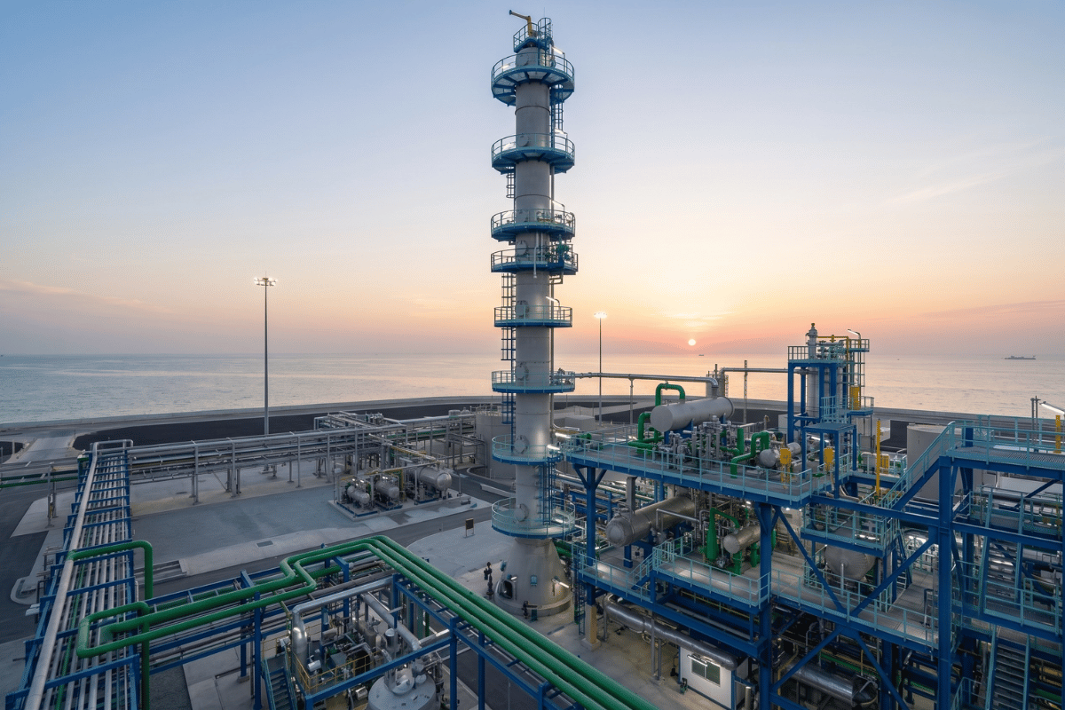
Environmental Modelling as a decision-support tool for impact assessment
You’re trying to assess the environmental impact of a project that involves dozens of interacting variables – emissions, drainage, wind, terrain, receptors, land use, and operational scenarios. Looking at each one in isolation won’t give you the answer. It will give you a fragment.
That’s where environmental modelling becomes essential.
What modelling actually does
An environmental model is a simplified, structured representation of a real system. It doesn’t replicate everything – it focuses on the elements most relevant to the question being assessed.
That distinction matters. A model isn’t a perfect replica of nature. It’s a structured thinking tool that converts complex source-pathway-receptor relationships into evidence you can work with.
In an EIA or ESIA, “working with” means doing something useful: predicting impacts before they occur, testing whether your mitigation actually works, and giving regulators a clear technical basis for their decisions, not just your professional opinion.
Where it fits in your EIA/ESIA workflow
Environmental modelling supports your study at every stage, not just the impact prediction section.
Used well, it helps your team:
- Identify sources and receptors early – mapping where emissions, noise, or flood risk originates, and who or what sits in the pathway
- Test your scenarios – baseline, construction, operation, worst-case, and mitigated conditions all compared on the same technical basis
- Predict impacts quantitatively – moving you from general assumptions to numbers regulators can scrutinise
- Design mitigation that holds up – because mitigation designed around model outputs is harder to challenge than mitigation designed around professional judgement alone
- Support your monitoring plan – defining where to monitor, what to measure, and what thresholds to use
This is what separates a defensible EIA from one that gets sent back with questions.
The four disciplines you’ll use most
Most EIA/ESIA studies in Saudi Arabia involve some combination of these:
Air dispersion modelling
Air dispersion modelling assesses how pollutants from a source disperse across the surrounding environment. The model considers emission rates, source characteristics, meteorological data, terrain, pollutant type, and receptor locations – and produces predicted concentrations you can compare against NCEC or RCER-2025 ambient standards. The same dispersion principles extend to odour assessment, a discipline just as relevant wherever communities sit close to wastewater, oil & gas, or petrochemical operations. We’ve used AERMOD to support NCEC-approved EIAs on projects from Fadhili to the Almobda IPA Plant and the SASREF expansion in Jubail.
Noise modelling
Noise modelling predicts how sound propagates from equipment, roads, construction activities, or industrial sources to nearby receptors, typically applying internationally recognised methods such as ISO 9613-2 for outdoor sound propagation. It’s how you demonstrate compliance with the 75 dB(A) fence-line limit under RCER-2025 before a single piece of equipment is installed – and it’s how you design acoustic mitigation that actually reduces levels rather than guessing at it. In our Jubail Advanced Treatment Unit project, noise propagation modelling confirmed cumulative fence-line levels remained well within regulatory limits after mitigation was applied.
Hydrology and flood assessment
Hydrology and flood assessment uses rainfall-runoff behaviour, drainage capacity, flow paths, and terrain data – often through 2D hydrodynamic modelling platforms such as MIKE 21 – to understand where water goes and where it doesn’t. In a region where flash flooding is a genuine construction and operational risk, this kind of modelling moves flood risk from a narrative concern to a design input.
GIS and receptor mapping
GIS and receptor mapping ties everything together spatially – locating sensitive receptors, overlaying impact zones, identifying hotspots, and defining monitoring locations. It’s the foundation on which the other models depend.

The limit you should never ignore
Every model is a simplification. That’s not a weakness, it’s the point. But it means the reliability of your outputs depends entirely on the quality of your input data, the suitability of your chosen method, the assumptions behind it, and how carefully results are interpreted.
A poorly parameterised model with clean outputs is not a good model. It’s a risk.
Modelling should be reviewed, tested where possible, and clearly explained to the people making decisions based on it. In regulatory contexts – NCEC submissions, RCER-2025 PAP packages, World Bank IFC-aligned ESIAs – the quality of that explanation is often what determines whether your study is accepted or queried. For a breakdown of how modelling sits within the full NCEC and RCJY permitting process, see our RCER-2025 permitting guide.
Modelling as part of a broader EIA approach
Modelling doesn’t replace professional judgement – it structures it. It gives your team a way to test assumptions systematically, surface the interactions that matter most, and produce outputs that hold up to regulatory scrutiny.
At Staterra, we use environmental modelling as a core part of how we deliver Environmental Assessment & Management – from baseline surveys and dispersion studies through to mitigation design and monitoring plans, backed by a dedicated in-house modelling team and international affiliations. Whether you’re working to NCEC requirements, RCER-2025 standards, or World Bank IFC Performance Standards, the technical rigour behind your modelling is what makes your study defensible and your permits achievable.
Need support with environmental modelling for your next EIA or ESIA? Get in touch with the Staterra team today.
Author: Mostafa Atef Aly – Staterra Senior Environmental Consultant Air Quality & Noise, EEAA-Certified Noise & Emissions Dispersion Modelling Specialist